English
 Español
 Deutsch
 日本語
日本語 Polska
 Français
 中國
中國 한국의
한국의 Українська
 Italiano
 Nederlands
 Türkçe
 Português
 Bahasa Indonesia
 Русский
 हिंदी
हिंदीMontana Topographic Map STL Model Model Cetak 3D


- Format yang tersedia: Stereolithography: stl 691.95 MB
- Koleksi:No
- Lebar dalam milimeter:534
- Tinggi dalam milimeter:4.8
- Kedalaman dalam milimeter:300
- Siap Cetak:
- Pindai 3D:No
- Konten Dewasa:No
- PBR:No
- AI Pelatihan:No
- Tampilan:2538
- Tanggal: 2022-06-17
- ID Barang:402318
- Peringkat:
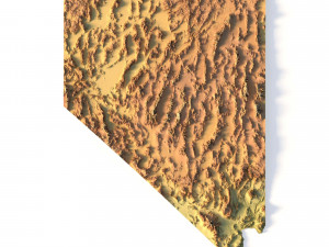
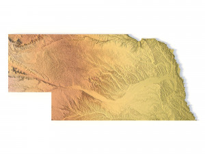
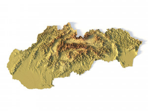
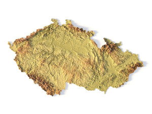
Create Detailed Montana Terrain Models with This High-Resolution 3D STL
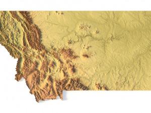
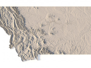
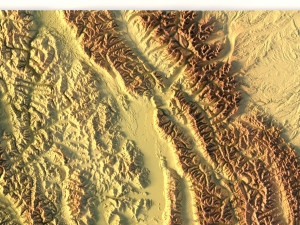
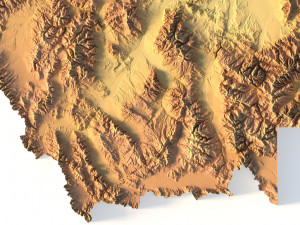
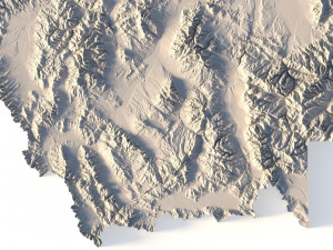
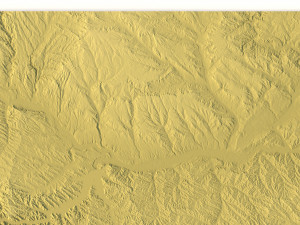
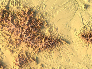
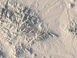
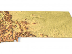
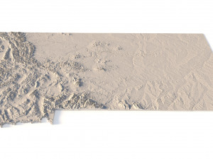
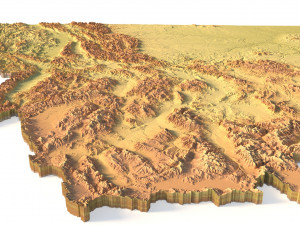
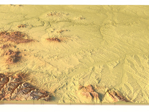
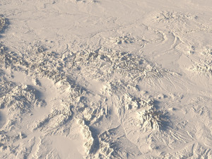
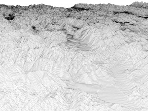
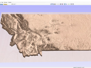
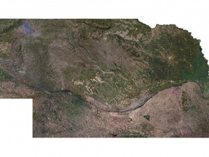
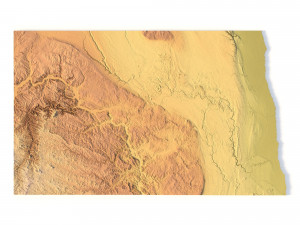
The Montana Topographic Map STL model provides a high-resolution representation of the state’s rugged topography and diverse geographic features. This 3D model is ideal for crafting physical relief maps from materials such as wood, metal, plastic, or concrete. Whether for landform visualization, educational projects, or professional GIS applications, this model delivers precise elevation data for accurate terrain modeling. Ideal for use with 3D printers, CNC machines, and laser engravers.
- File size: 1.21 GB / 623 MB
- Model size: 534.6 mm x 300.5 mm x 4.758 mm
- Resolution: 0.1 mm
- Projection: Mercator
- Datum: Google maps (sphere radius 6378137)
- EPSG code: 3857
- Scaling factor: X – 0.0000004; Y – 0.0000004; Z – 0.0000012
- Number of polygons: 26 181 818
- Number of vertices: 13 100 753
- Polygonal mesh: Triangles only
- Base: Open / Closed
Features of the Montana Topographic STL Model
Detailed elevation data showcasing Montana’s mountains, valleys, and plains.
Compatible with FDM/SLA 3D printers for creating high-quality terrain models.
Designed for CNC machining to craft relief maps from wood or metal.
Supports high-precision laser engraving for metal surface detailing.
Jika Anda membutuhkan format yang berbeda, silakan buka Tiket Dukungan baru dan minta itu. Kita dapat mengonversi model 3D menjadi: .stl, .c4d, .obj, .fbx, .ma/.mb, .3ds, .3dm, .dxf/.dwg, .max. .blend, .skp, .glb. Kami tidak mengonversi adegan 3d dan format seperti .step, .iges, .stp, .sldprt.!
Unduh Montana Topographic Map STL Model Model Cetak 3D stl Dari sychev23021983
montana usa state country america art mapItem Terkait Dari Montana Topographic Map STL Model